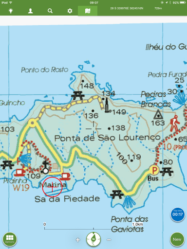
Having spent the day nursing colds, decided late afternoon to get some fresh air and have a bit of exercise and to use our newly downloaded ViewRanger hiking map App to blaze a new circular trail close to the marina.
We found the ViewRanger App very useful for hiking on Gran Canaria as it provides offline OS detailed maps and uses the builtin Ipad GPS to show your position at all times - very usefful particularly when on unmarked trails. If also has the function of plotting ones track on the map.
Below, the thin black line shows our actual track with arrows indicating the direction we walked.
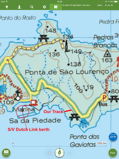
After leaving the marina, we walked along the road to the car park (marked P on map) for Baia da Abra and a few meters along the trail to the São Lourenco Peninsular we turned left onto an unmarked track. For the next 500 m the trail was a bit vague
 P
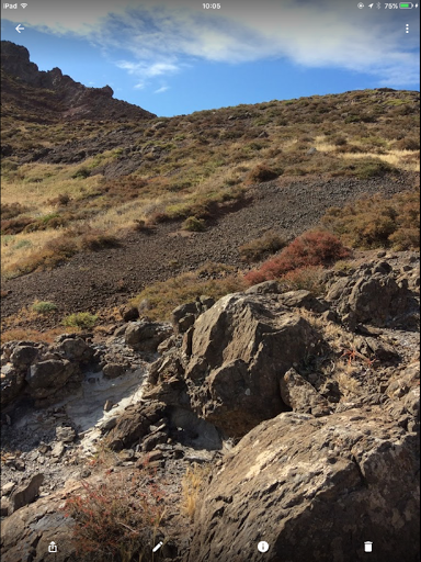
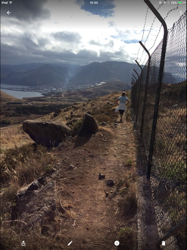
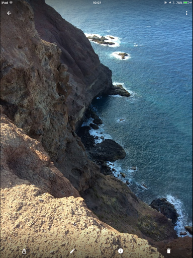
PEventually reached the edge of the cliffs then walked around the fence protecting the airport related radio station
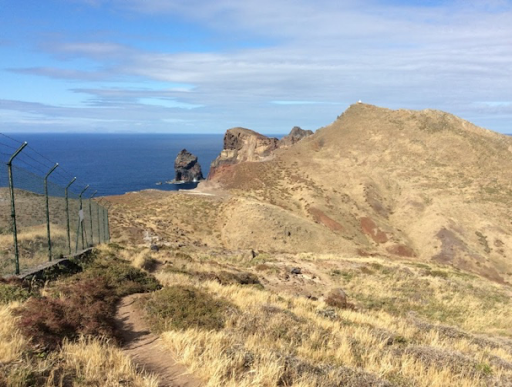
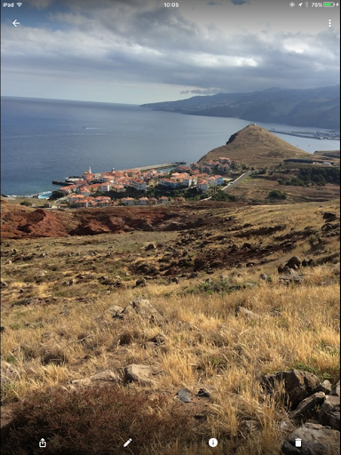
Views of Quinta do Lorde
The airport radio stationo
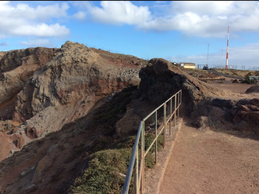
Mirador
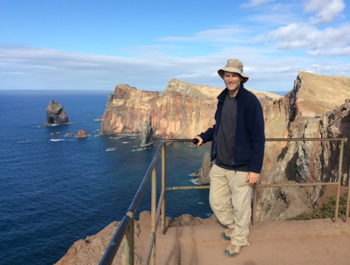
This pleasant little walk was about 6 km and took about 2 hrs
No comments:
Post a Comment