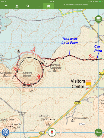
Our track is recorded in the below Viewranger map

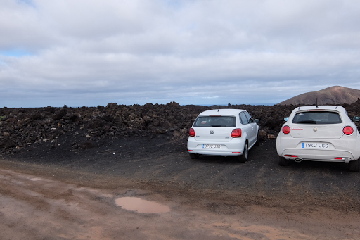
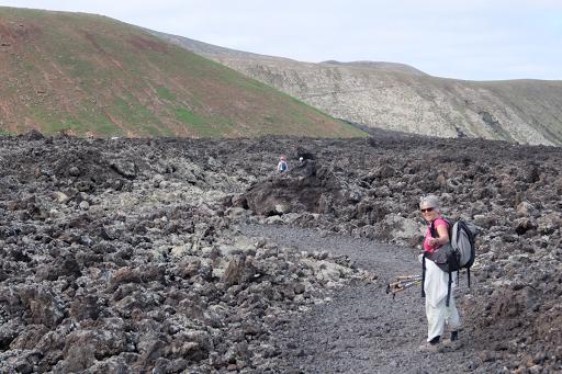
We started walking at 1105hrs. The first part of the route was over a very rough track through the lava flows - quite uncomfortble on the feet.
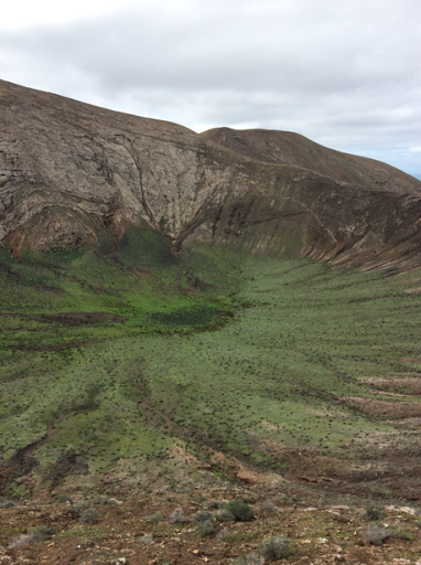
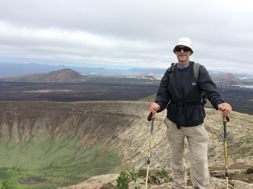
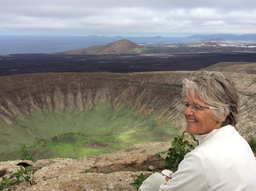
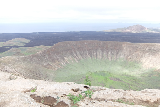
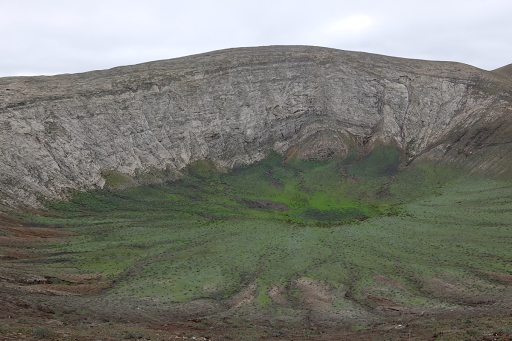
Our first view into the crater after the steep climb to its rim
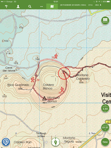
Our position when we took the above photo is shown by the red circle on the below Viewranger map
Since arriving on the island, we have been surprised at how green parts of the island are - we remember Lanzarote as being a very brown barren island.
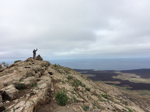
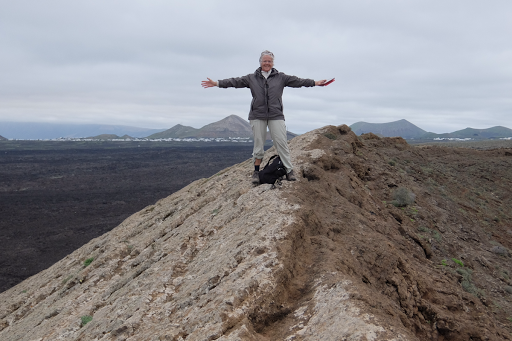
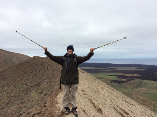
The highest point of the rim - Montana Blanca, around 461 meters
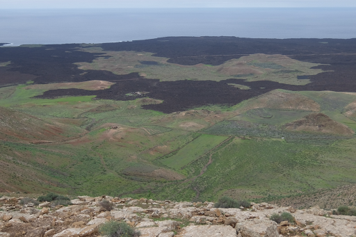
Below one can see how the lava flowed around volcanoes from previous eruptions
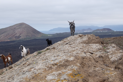
After scrambling up a steep section of the rim, we were met by these mountain goats.
The official walking route descends before reaching this part of the ridge. We decided we preferred to complete the circumnavigation of the rim
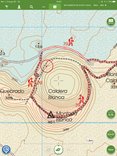
The below Viewranger map shows our position where the above photo was taken. The stippled track to the left is the official route
The track on the rim of the caldera is a bit like a knife edge here - probably why the official route avoids it by descending and contouring around the outer base of the caldera - however, it is the most exciting part of the route!
View across the Caldera to Montana Blanca
After dscending from the rim, our track rejoined the track we had used initially to take us back through the lava flows to the car. 1555hrs we were back at the carpark - a very enjoyable hike.
No comments:
Post a Comment